DIY Topographic Overlays with Google Earth
-
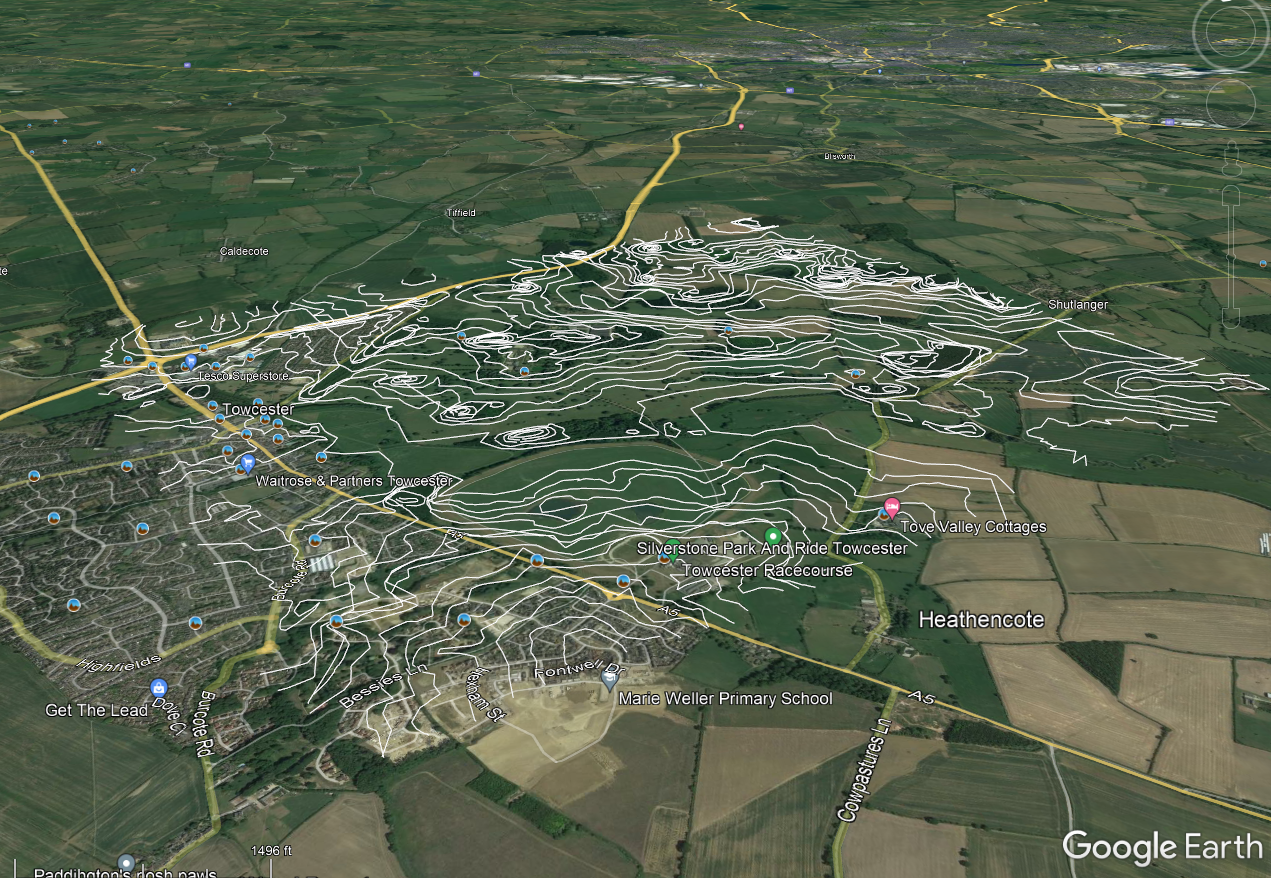
Sourcing hyper local high fidelity topographic overlays can be a total chore! So many different formats and applications. But google earth has all you need to make useful topographic terrain surveys, and the process is simple.
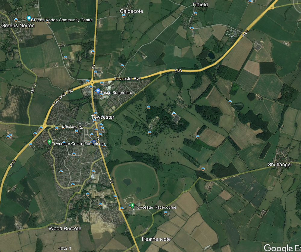
It starts with identifying a location and determining the confines of the map.
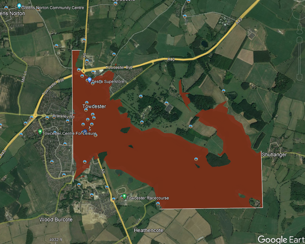
The second step is drawing a polygon over the defined area at an initial absolute elevation determined by the lowest point within the confines of the survey area.
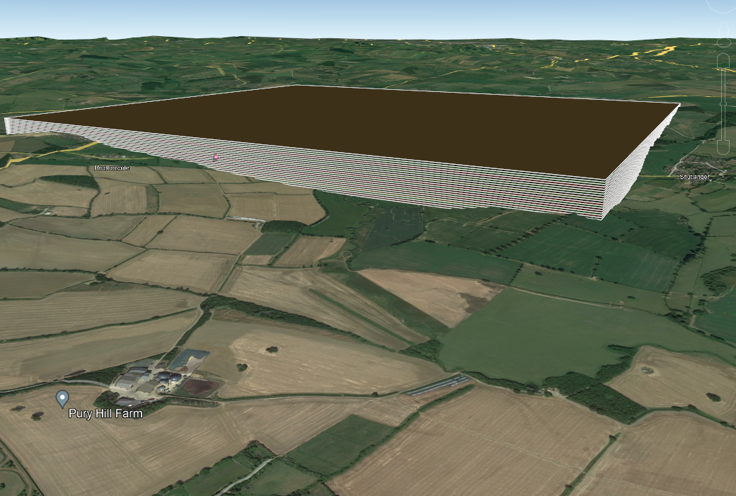
the third step is determining the base increment for the steps in elevation (for example: 3m) and paste new polygons for each increment until the area is covered.
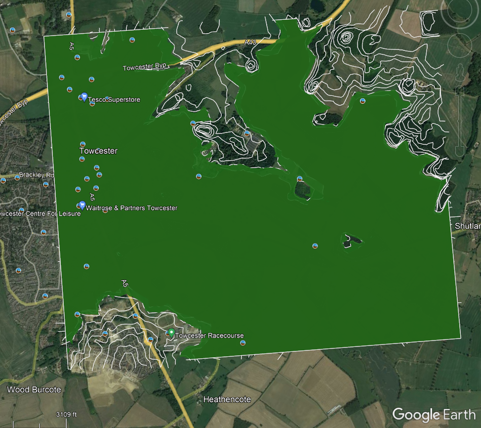
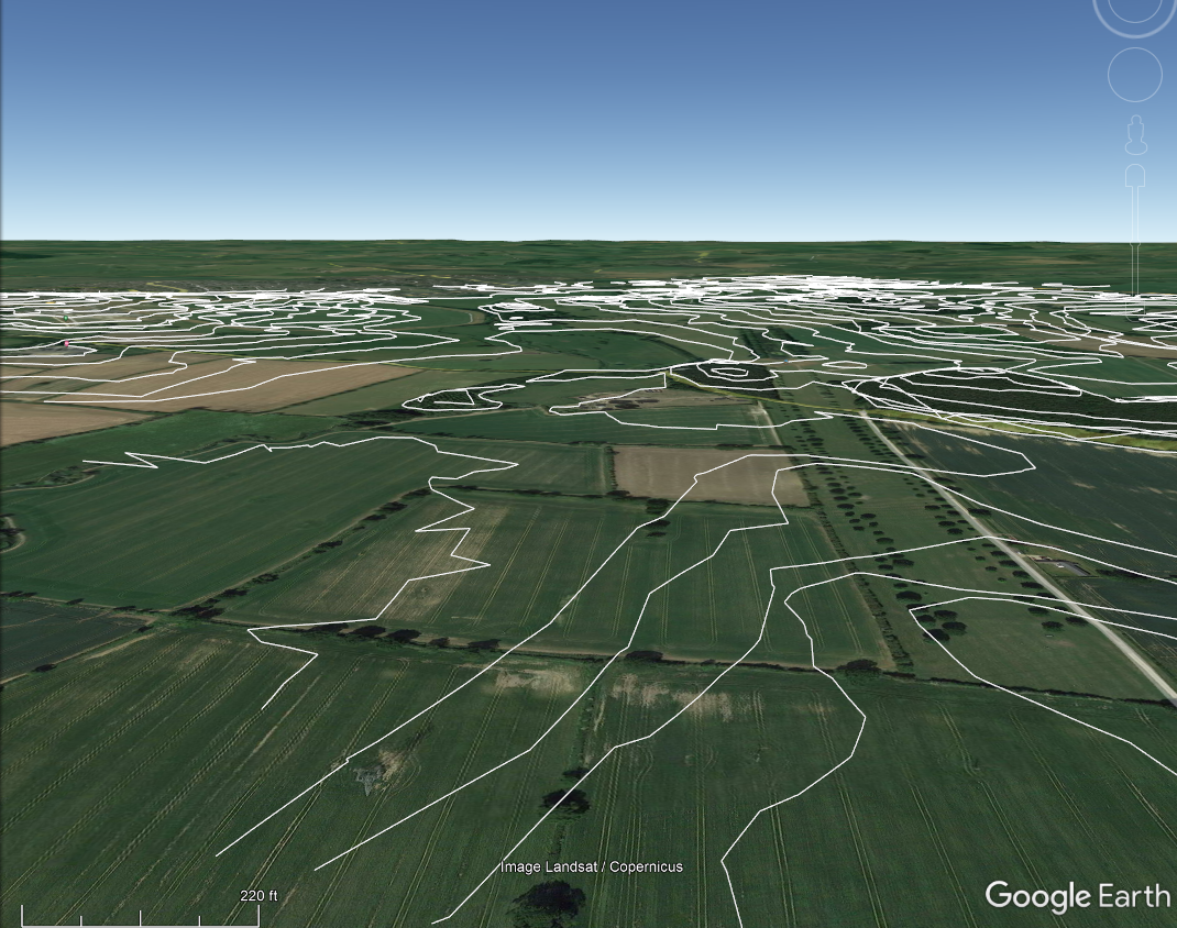
the final step is to go through each polygon and trace out the intersections between the terrain and the polygon. repeat that process until each polygon is traced.
rejoice for your map is complete!
-
@notsure This is really useful. I would have used this loads early on to gauge my trips since I didn’t know some of the topology.
Definitely haven’t woken up yet, was staring at the maps like “this place looks odlly familiar” xD